AI can be used to map hazards during disasters like Nepal floods: Kamal Bawa, Founder, ATREE - The Indian Express
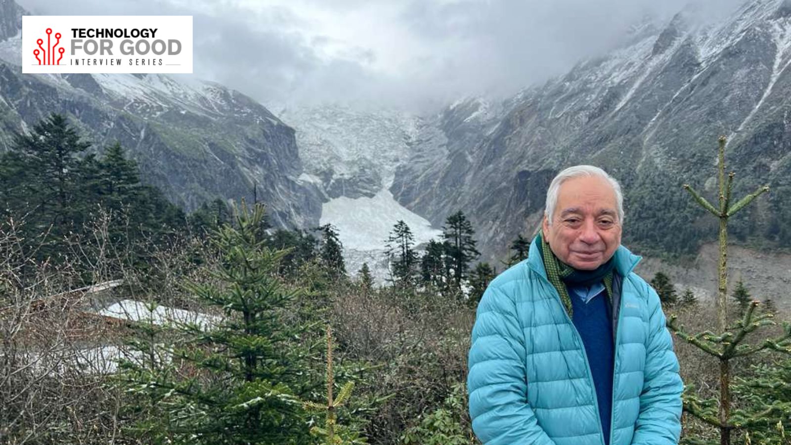
Kamal Bawa is the founder of Bengaluru-based environmental think tank Ashoka Trust for Research in Ecology and the Environment (ATREE), and a distinguished professor of Biology at the University of Massachusetts, Boston.
Bawa has done extensive work on biodiversity conservation and climate change in the Himalayas. He has published over 200 research papers, authored 10 books, and is the editor of two international journals on biodiversity. He is also the winner of the Gunnerus Prize in Sustainability Science, the MIDORI Prize for Biodiversity, and the Linnean Medal.
Kamal Bawa spoke to indianexpress.com on ATREE’s Himalaya Initiative, how tech could be used to predict disasters such as the recent Nepal-Tibet floods, and how AI is changing the face of biodiversity conservation. Edited excerpt:
Venkatesh Kannaiah: Give us a broad overview of ATREE’s Himalaya Initiative.
Kamal Bawa: The Himalayan region is a critically important landscape, not only for India, but for the whole world. For India, it is one of the most biodiverse regions. Almost two-thirds of India’s biodiversity is in the Himalayas.
Almost all of the country’s major rivers originate in the Himalayas, which are also home to sacred places revered by hundreds of millions of people.
Himalayas are fragile and unstable. The land is constantly moving. Population and infrastructure are expanding rapidly, and there is a high rate of deforestation and land degradation.
ATREE’s Himalaya programme has five components. The first is conservation planning. We look at how we can avert the continuing loss of biodiversity by equipping local communities. The second is restoring degraded land. The third is nature-based livelihoods, because until we address the livelihood needs of the people living there, our efforts towards conservation and restoration would be piecemeal.
The fourth component looks at developing local human resources to manage the change we are witnessing in these landscapes. And finally, we look at developing evidence-based policies and governance frameworks.
Venkatesh Kannaiah: Tell us how you are using tech in your programmes to increase impact.
Kamal Bawa: We focus on geospatial mapping of land-use change, a strong component of our conservation programme. It helps us monitor biodiversity and in conservation planning.
Another emerging tech is bioacoustics. We can record and analyse the sounds of animals, birds and insects. We can also track animals’ movements. These sounds can be analysed and assigned to particular species, say, birds and insects. It allows us to determine the changing composition of various species in the ecosystem and changes brought by land use. With bioacoustics, the data can be collected rapidly and analysed using AI models.
ATREE has developed SNAIL, a digital platform and a resource hub for environmental education in India. We will soon be launching the Plants of India portal with detailed information about Himalayan plants. ATREE has also participated in the India Biodiversity Portal, which has comprehensive information about biodiversity.
We have a multi-decade regeneration programme in the Himalayas. The landscape needs regeneration at scale across many socio-environmental and economic sectors, such as health, nature-based enterprises, agriculture, finance, and industry. We are developing an AI-guided learning platform to develop the human resources needed to heal and conserve the Himalayas.
Venkatesh Kannaiah: How does the recent Nepal-Tibet flood affect biodiversity in the Himalayas? How tough is it to predict such events?
Kamal Bawa: The Nepal-Tibet flood was caused by a massive glacier collapse in Tibet. A huge amount of ice and rock broke off and fell over a kilometre onto the valley floor, damming it and then unleashing flash floods downstream.
In terms of biodiversity, this kind of event erodes riverbanks and forest cover along the flood path, buries vegetation and aquatic habitats under debris, kills fish and river wildlife, and it can take decades for the ecosystem to recover.
Such events are very difficult to predict because we still don’t have a reliable way of knowing which slopes will produce a rock-ice avalanche. That doesn’t mean that they cannot be predicted. There was a similar disaster in the Alps a few years ago, but early warning systems alerted agencies and communities. The warning came seven or eight hours before the disaster, so it could be averted. There were only a couple of villages in the way, unlike the Himalayas. The Alps incident was also smaller in scale.
We need satellite monitoring of glaciers and unstable slopes. Satellites can track glacial lakes and steep, fractured terrain for signs of instability — ice movement, crack formation, lake swelling — giving days or weeks of warning, well before a collapse actually happens. Constant monitoring with drones is also required. Much more needs to be invested in these technologies.
Then there are cross-border real-time sensor networks. The Nepal disaster happened specifically because the hazard originated in China, which had no shared data feed with Nepal. Putting sensors upstream on both sides of a border and sharing data instantly is the single biggest fix experts are now pointing to.
There is also AI-based multi-hazard mapping. Instead of viewing glacial lakes, snowmelt and monsoon flooding as separate problems, we need to realise that these work in tandem. Machine learning can combine all three into one integrated risk map, flagging combinations of conditions that make a disaster more likely.
In this case, the monitoring stations were swept away before they could transmit the alerts. So we need to place more rugged sensors further upstream or pair them with instant satellite/cellular relay, rather than local hardware alone.
The Nepal-Tibet disaster is not a big shock to people working on environmental issues in the Himalayas. We fear that the intensity of such disasters could increase.
The question remains: why are we not investing more in disaster science, disaster risk management, and examining our policies?
Look at the hydroelectric power dam construction in the Himalayas. They were planned 20 to 30 years ago. We did not know much about climate change then.
Venkatesh Kannaiah: Tell us about the use of tech in climate change mitigation, adaptation and resilience.
Kamal Bawa: As for mitigation, which is about reducing emissions and the pressure on the ecosystem, there are multiple ways. There is a focus on decentralised energy generation where micro-hydro and solar microgrids are electrifying remote Himalayan villages to reduce pressure on forests.
Using remote sensing for carbon accounting, satellite-based forest cover and biomass monitoring lets policymakers track carbon stocks in hard-to-access mountain forests without costly ground surveys.
GIS-based land-use planning helps target reforestation and avoid maladaptive infrastructure (roads, hydropower siting) in ecologically sensitive zones.
For climate adaptation, SMS/app-based weather and crop advisories, soil-moisture sensors, and digital extension services are reaching smallholder farmers in mountain valleys, helping change planting calendars and crop choice as monsoon patterns become erratic.
Satellite/weather-data-triggered payouts are being piloted for mountain farmers who lose harvests to erratic rainfall or flash floods, a kind of tech-enabled financial resilience tool.
Satellite programmes track glacier retreat, snow cover, and glacial lake formation across the Hindu Kush Himalaya, at a scale ground teams can’t match, feeding water-availability forecasts for both agriculture and hydropower planning.
As for climate resilience, there are Glacial Lake Outburst Flood (GLOF) early warning systems and sensors that detect rapid water-level or seismic changes and trigger downstream alerts.
There are projects in the Himalayas which are applying AI to model compound water-climate risks (floods, droughts, glacier melt) at finer spatial resolution than traditional climate models allow.
Venkatesh Kannaiah: Tell us about technologies that are globally changing the face of biodiversity exploration, monitoring and conservation.
Kamal Bawa: One is environmental DNA, where scientists can now detect which species are present in an area by just testing a scoop of water or soil or even air for traces of genetic material.
There are AI-powered camera traps and acoustic sensors. The camera traps and audio recorders left in the field can automatically identify species from images or sounds using machine learning, cutting down what used to be months of manual review. This also lets researchers track animal movements, poaching activity, or population trends at a scale that would be impossible with human observers alone.
Satellites and drones using remote sensing are being used to monitor deforestation and degradation. They can also monitor loss of productivity of ecosystems and, to some extent, ecosystem services.
There are citizen science applications and data collection platforms too. Apps like iNaturalist or eBird let citizens log species sightings with photos and GPS coordinates, feeding directly into shared databases that scientists and policymakers use. This dramatically expands the number of ‘eyes on the ground’ and builds public engagement.
Venkatesh Kannaiah: Tell us about instances where village or forest communities could use tech in biodiversity conservation.
Kamal Bawa: ATREE has built a Digital Knowledge Hub pooling everything learned across Himalayan communities on biodiversity, climate, and conservation, open to scientists, local communities, and the public.
It combines ATREE’s field data, historical records, open databases like the Global Biodiversity Information Facility (GBIF) and iNaturalist, and citizen science, with AI tools being built to make all of it easy to search and use.
The core tool is HBIS (Himalayan Biodiversity Information System), an interactive online map that works in any web browser. It calculates indicators of change for any place in the Himalayas – a village, a district, or a state – and whether a species is doing better or worse.
We have various components of the community in mind, but our emphasis is on how rural communities can use the information for their own livelihoods.
Venkatesh Kannaiah: Tell us about instances where ATREE faced challenges in implementing tech tools or platforms.
Kamal Bawa: We have tech now which allows us to ask sophisticated questions and allows us to gather information efficiently, but the challenge is the type of information society really needs, and what local communities need to use the resources that are available to them.
ATREE works pan-India, so the things that work in one region are not applicable to others. So there is a cost of doing things over and again. The socio-cultural milieu in which the technologies operate is different, and the languages are different.
Venkatesh Kannaiah: AI and biodiversity conservation. Tell us about instances of how it could solve old problems.
Kamal Bawa: I’m very mindful of all the concerns about AI, but I feel there are tremendous opportunities.
Earlier, field teams could collect millions of camera-trap images and hours of audio, but people to review it were scarce, and it could take years to manually sift through the data. Now, AI image and sound classifiers sort and tag that data automatically, getting us near real-time species counts.
Earlier, rangers fighting poachers and protecting vast reserves had to patrol essentially at random. Now, tools like PAWS (Protection Assistant for Wildlife Security) use machine learning on historical poaching and patrol data to predict where poaching is most likely to happen next.
Wildlife trafficking has moved from physical markets to e-commerce sites and social media, where manually monitoring millions of listings for illegal ivory, pangolin scales, or exotic pets was practically impossible. AI systems now continuously scan these platforms for suspicious listings and flag them for investigators.
Earlier, illegal logging or land clearing was discovered by satellite months or years after it happened, after the damage was done. Now, AI systems flag forest loss within days, giving enforcement teams and conservation groups a chance to respond fast.