Drones reveal the contradictions of township life - IOL
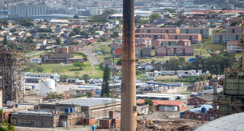
The advent of drone technology has brought striking aerial images of townships, but these pictures do not tell the full story of hardship, overcrowding and the enduring legacy of apartheid spatial planning, argues the writer.
Drones are a remarkable invention. They have transformed the way we see our cities, communities and landscapes, giving us a bird’s-eye view that was once available only from an aircraft or helicopter.
Yet lately, some of the images they capture from South Africa’s townships have left me with mixed feelings.
From above, the densely packed streets and rooftops can look strangely beautiful. There is something almost nostalgic about watching drone footage glide over the familiar roads, houses and apartment blocks where generations of black, coloured and Indian South Africans have lived.
Many of these communities were never designed to become thriving, sustainable neighbourhoods. They were products of apartheid spatial planning, which deliberately separated people according to race and pushed black, coloured and Indian communities into designated areas, often far from economic opportunities and without the infrastructure that a properly planned city should provide.
Look closely at some of the townships from the ground rather than from the air and another picture emerges. Streets can be narrow and overcrowded. Infrastructure is often under pressure or deteriorating. Public spaces are limited. Drug abuse and gun violence have become realities in some communities, while unemployment and poverty compound the difficulties residents face.
The aerial images can therefore be deceptive.
They give us the romance of the township without necessarily showing the hardships experienced by the people living beneath those rooftops.
Whether you live in the flats of Lamontville, Wentworth or Phoenix, you understand how little private space can sometimes exist in densely populated communities. In some places, you barely have to open your front door before encountering a neighbour. Families live in close proximity, children grow up surrounded by other households, and everyday life inevitably continues within view and earshot of others.
This proximity can produce solidarity. It can create the sense of community for which townships are often celebrated. Neighbours can become extended family, and streets can become social spaces where people know one another.
But overcrowding can also test the limits of tolerance. Drones create a beautiful distance from realities that are anything but beautiful. From hundreds of metres above, the streets form patterns, the rooftops create mosaics and familiar places can suddenly appear almost idyllic.
Yet there is nothing picturesque about communities that have spent generations living in places designed for them to survive, but not necessarily to prosper.
I have nothing against drones. Their ability to document communities, expose infrastructure problems and tell stories from perspectives we have never had before is invaluable.
But perhaps we should learn to look at those images differently.
When we see the beautiful aerial view of a township, we should also remember the history beneath it, the people living in those houses and the conditions on the streets below. | NATHAN STUART Durban