
‘Extremely Rare’ Tornado Reported Near Salt Lake City - Newsweek
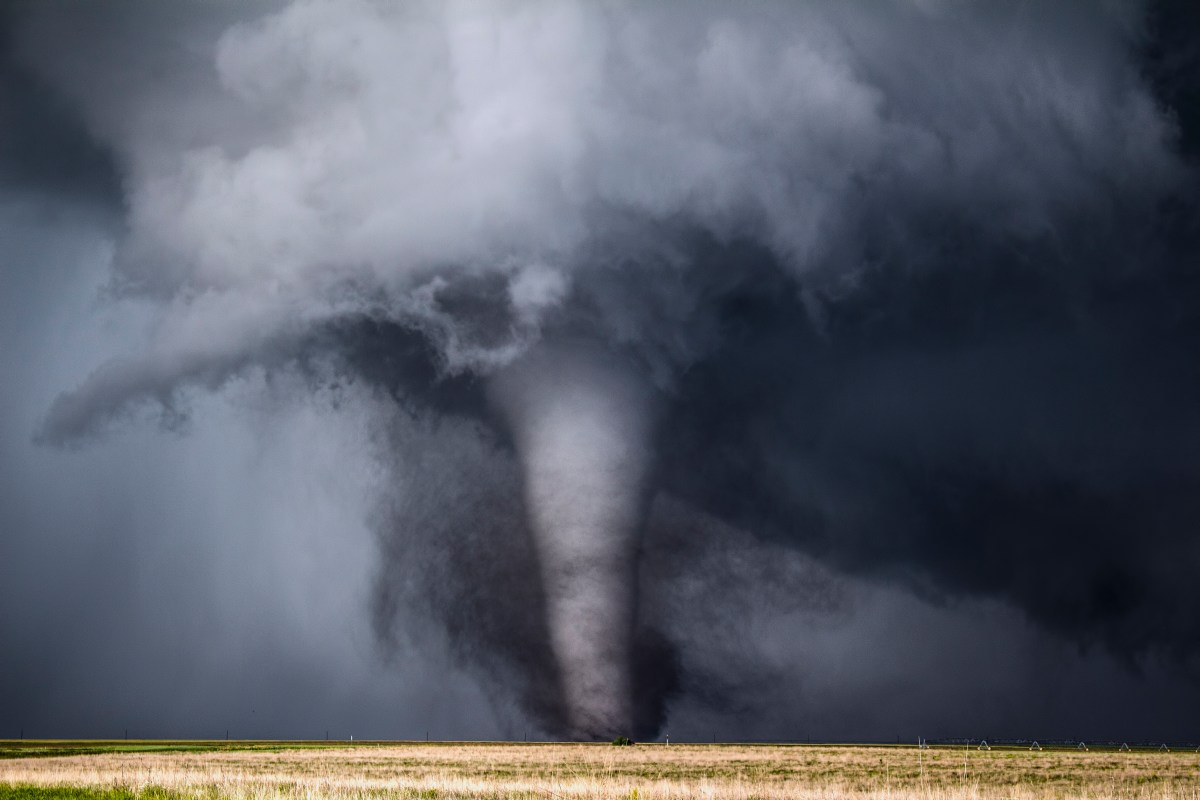
An "extremely rare" strong tornado hit a mountainside near Salt Lake City on Friday afternoon.
MyRadar Weather Channel called attention to the unusual weather event, which was strong enough to prompt a tornado warning from the National Weather Service (NWS) office in Salt Lake City at 2:15 p.m. local time.
"BREAKING: We believe a tornado may have occurred on the rural north side of the Salt Lake City, Utah metro area," MyRadar Weather posted on X. "This is an extremely rare event. In fact, the radar signatures we're seeing are commensurate with storms that, historically, have produced EF2 or EF3+ tornadoes."
The storm formed near Kaysville, Utah, which is around 20 miles north of Salt Lake City. NWS meteorologist Brittany Whitlam, who works at the Salt Lake City office, told Newsweek it was the third tornado reported in the state this year. Radar signatures showed that the tornado lofted debris 4,000 feet into the air, Whitlam said. However, it appears the tornado hit the side of a mountain. No urban damage has been reported.
Based on the radar and videos shared with the NWS from residents in the area, Whitlam said the NWS can confirm it was a "strong" tornado, but an official rating won't be issued until a survey team is deployed to the area. Tornados are rated based on the Enhanced Fujita scale, which estimates wind speeds. The scale ranges from the weakest storm at EF0 to the strongest at EF5. Tornados are considered strong at the EF2 level, which produces winds between 111 and 135 miles per hour.
According to the MyRadar Weather Channel post, rotation could be seen on radar north of the Great Salt Lake at around 1:30 p.m. local time. The tornado formed as severe thunderstorms lashed the state on Friday.
"Rotation remained broad and diffuse until between 1:38 and 1:44 p.m., when it rapidly consolidated, tightening into a strong mesocyclone (rotating updraft) over Interstate 15 in Farmington," MyRadar Weather Channel posted. "At this point, a funnel cloud was reported. We believe it probably had at least intermittent ground contact as a tornado. Then rotation tightened into a very strong circulation, and perhaps a significant tornado, as the storm passed over the mountains and canyon east of Farmington."
The post went on to say that hikers on the Great Western Trail might notice trees torn down by the storm.
"Fortunately, the region appears sparsely-populated, and the probable tornado likely lifted before reaching Interstate 84," the post said. "This may have been among the most impressive radar signatures ever seen in the state of Utah."
The storm prompted a tornado warning from the NWS Salt Lake City office, an alert that is issued when a tornado poses an immediate threat to an area. Tornado warnings are usually short-lived and require immediate action, such as taking shelter.
A tornado watch is issue when conditions could allow for a tornado to develop. These alerts typically last several hours and are issued over a wider area.
Severe thunderstorms continue to hit Utah as of Friday at around 6 p.m. Eastern time. Residents should follow local weather guidance and be prepared to take shelter if severe storms develop.
Contact Newsweek editors on this story: Anna Skinner and Anthony Murray.
