How El Niño Could Reshape Thanksgiving and Christmas Travel - Newsweek
A potentially record-breaking El Niño could leave Thanksgiving and Christmas travelers in southern states battling storms and heavier rainfall but reduce the chance of snow and ice-related travel disruption for those in northern states, forecasters have told Newsweek.
The developing super El Niño, which has already broken a 170-year record, is expected to continue strengthening over the fall meaning its impact on the weather patterns in the United States will likely be affected over Christmas and Thanksgiving.
All forecasters Newsweek spoke to stressed that it is too early to know for sure what the climate phenomenon will do during the festive season, but, “based on past events there is a tendency for cooler, wetter and stormier conditions to affect the southern United States over the winter, but with warmer and drier conditions in the northeast,” Professor Richard Allan, a climate scientist at the University of Reading in the U.K., said.
This could mean states that typically experience what the NOAA describes as “exceptionally stormy winters and increased precipitation” during El Niño months, such as Texas, Louisiana, Mississippi, Alabama and southern California, could be in for flooded roads, reduced visibility on the roads and weather-related flight delays.
Conversely, northeastern states, such as New York, Massachusetts, Pennsylvania and New Jersey, often see drier and warmer conditions during El Niño winters, meaning they could see smoother travel conditions than the south. But temperature patterns are much less consistent than precipitation, “even during the strongest events,” the NOAA warns, so it is more difficult to predict what travel will be like for these states.
El Niño is a naturally recurring climate pattern that affects temperatures and rainfall worldwide when it warms waters in the Pacific.
The NOAA officially refers to the climate pattern as “very strong,” referring to an event in which waters are warmer than average, usually by around 2 degrees Celsius. But many independent meteorologists and other weather agencies have been referring to the current event as a “super El Niño”—used to point to the same thing.
The current El Niño is 3.05 degrees Celsius above average, WFLA-TV chief meteorologist Jeff Berardelli reported last week, marking a new record for the highest ocean anomaly in 170 years.
The NOAA predicts that, between October and December, there is a 75 percent chance of a “historic event that would exceed the strength of previous El Niño events dating back to 1950.”
Allan warned specifically of “deluges and associated flooding” which are being “super-charged by the warmer world we live in, driven by our greenhouse gas emissions.”
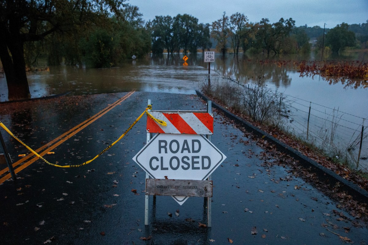
If southern states see spells of heavy rainfall during the Christmas and Thanksgiving season, they could face roads left unusable from floods, danger from being on roads when they do flood and mudslides—all of which would continue to cut off routes even after the individual events are over.
The 1997-98 El Niño, often cited as an example of a strong El Niño, saw southern California battered with heavy rainfall and mudslides which closed Highways 1, 126 and Highway 150 in early December, according to the NOAA Storm Events Database.
A few months later, when another storm hit in February, multiple roads and bridges were damaged because of mudslides and high water, the National Weather Service recorded on its Southern California weather history report. A large sink hole forced the closure of Santiago Canyon Road for several days.
The 1997-98 El Niño reached 2.3 degrees Celsius, the NOAA’s Relative Oceanic Niño three-month Index shows.
While one of this season’s El Niño’s single-day ocean-temperature peaks surpassed this with its 3.05 degrees Celsius reading last week, its current average is 1.4 degrees Celsius, according to the index. But the NOAA predicts it will hit more than 2.5 degrees Celsius in October-December.
Atmospheric science Professor Paul D. Williams pointed Newsweek to a June report he co-authored for turbulence-forecasting company Skypath which predicted that flights may be “a lot bumpier than normal in the year ahead” because of how strong El Niño conditions can create a greater chance of air turbulence over the North Atlantic.
The article, which has not been peer reviewed, concluded that, this, combined with the strength of the current El Niño “suggest statistically that large parts of the world could experience stronger windshear and increased turbulence.”
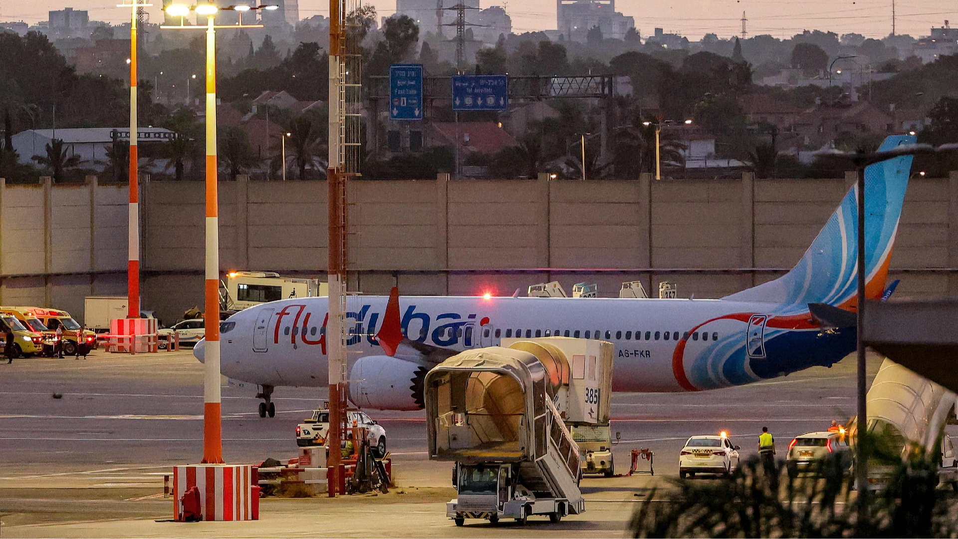
During the 1997-98 El Niño winter, hundreds of flights were delayed by an hour or more at the San Francisco International Airport on a day in January, local media reports from the time show. This was because conditions forced the Federal Aviation Administration halved the number of flights arriving each hour and low visibility only two of the airport's four runways could be used.
In a February storm, several flights were delayed at Los Angeles International Airport—not because of floods on the runways, but because the travel disruption on roads had been so severe multiple passengers and flight crews were not able to get to the airport on time, The Los Angeles Times reported that day.
Akshay Deoras, senior research scientist at the National Centre for Atmospheric Science, advised travelers to keep track of local National Weather Service forecasts before they set off this festive season.
Both Allan and Deoras stressed that it is too soon to predict what impact the El Niño will have on weather patterns and when.
“Due to the fickle nature of weather, it is only possible to get a clearer picture in the days running up to the busy holiday period,” Allan said.
Deoras added that even if predicted weather effects take place, it is “impossible to predict this far in advance whether there would be particularly strong impacts during this year’s holidays” as they can happen any time between November and spring the following year.
The NOAA says that while this year’s stronger El Niño event means “the chances of experiencing impacts consistent with El Niño are larger,” they are “not guaranteed.”
The next official update on El Niño is scheduled for October 8.