India standardises names of 28 places in Ladakh

You don’t have any Active Subscription.
Account subscription benefits alongside Premium Stories, Editorials, Opinions and more. Unlock these with Subscription
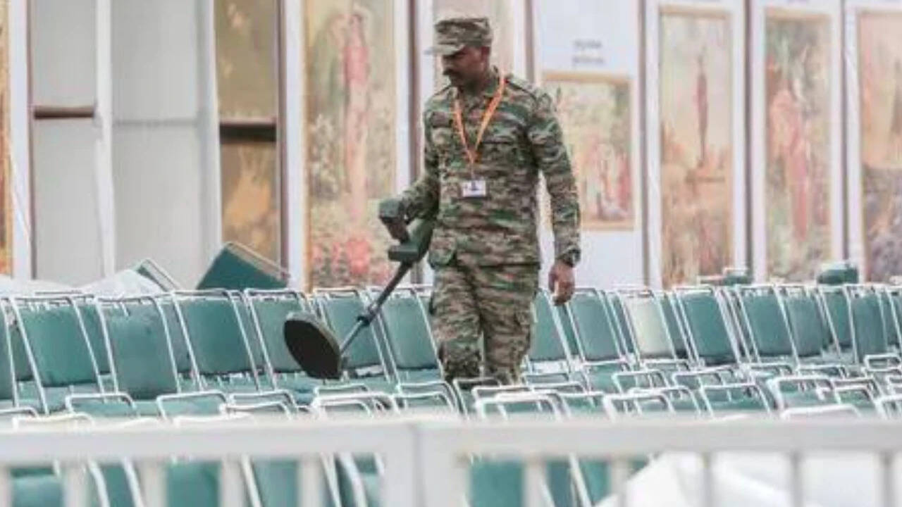
The Government of India, in consultation with the Union Territory administration of Ladakh, has identified 28 places and geographical features in the region by standardised names on the official Survey of India (SoI) map. | Photo Credit: @SpokespersonMoD via ANI
The Government of India, in consultation with the Union Territory administration of Ladakh, has identified 28 places and geographical features in the region by standardised names on the official Survey of India (SoI) map.
The government said the formal identification on the map was aimed at ensuring accurate recognition and creating greater awareness among the public. The latest notification comes days after India standardised the names of places in Arunachal Pradesh amid cartographic aggression by China.
The list in Ladakh includes 11 peaks, five mountains, six land areas, two glaciers, two passes, one valley, one river, one lake and one other water body.
Among the peaks identified are Atisha Giri, Kanishka Peak, Martand Giri, Zorawar Peak, Rinchen Zangpo, Sakyasri Giri, Marpa Lotsava Ri, Milarepa Kangri, Shiva Ri, and Maheshvara Ri. The list also includes Karun Pir, Drak Karpo and Jolmori as mountains.
The government has identified Brangsa, Kuksel, Dehra Compass, Gogra, Kumarayana Point, Panglung, and Shamal Lungpa as land areas. Parpik and Skamri Glacier have been classified as glaciers, while Chapchingal Pass and Shachmirk Pass have been identified as passes.
Other features on the list include Shkorga Valley, Yangpa River, Guru Rinpoche, which has been identified as a lake, and Hot Spring, classified as a water body.
The government said the map of Ladakh, incorporating the additional places and geographical features, can be viewed on the Survey of India website.
Since April 2020, the Chinese People’s Liberation Army (PLA) has amassed a large number of troops and armaments in eastern Ladakh and other areas along the 3,488-km-long LAC. The PLA moved into Indian territory and built fortified structures and defences, in an attempt to permanently alter the status quo on the ground.
While there are differences in perception on the alignment of the LAC, over the years, both sides had concluded a series of agreements to maintain peace on the border, and a moratorium on patrolling was implemented following the June 15, 2020 violent clashes at Galwan, where 20 Indian soldiers were killed. Before this, on May 5, 2020, clashes erupted on the north bank of the Pangong Tso, in which over 70 Indian soldiers were injured.
Comments have to be in English, and in full sentences. They cannot be abusive or personal. Please abide by our community guidelines for posting your comments.
We have migrated to a new commenting platform. If you are already a registered user of The Hindu and logged in, you may continue to engage with our articles. If you do not have an account please register and login to post comments. Users can access their older comments by logging into their accounts on Vuukle.