Indonesia fires burned through nearly 2.9 million ha: Monitor - The Straits Times
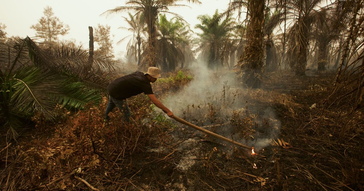
A firefighter using a tree branch to douse flames amid a wildfire at an oil palm plantation area in South Arut, West Kotawaringin regency, Central Kalimantan, on Oct 18.
JAKARTA – Fires in Indonesia driven partly by a strong El Nino have burned through 2.88 million ha so far in 2026, a monitor analysing satellite imagery told AFP on Nov 11.
The size of the burnt area – 18 times the size of London – has increased by nearly one million ha since deforestation monitoring site Nusantara Atlas’ last update in September.
Indonesia’s government has not provided official figures for areas burned since announcing that 202,000 ha had been razed by the end of July.
The burning detected in analysis up to the end of October is a conservative estimate, warned Nusantara Atlas founder David Gaveau, in part because smoke has obscured satellite images.
But it already exceeds the full-year figure for 2019, previously the worst year on record in Nusantara Atlas’ data.
Indonesia also experienced devastating fires in 2015, but the satellite imagery used then was different, making a direct comparison difficult.
Still, the scale of destruction is clear, said Gaveau.
“Basically, it’s a really bad year,” he said.
The arrival of rain has brought some of the worst blazes under control, and monitoring shows the number of so-called hot spots starting to flatten or decline.
But the figure for the total burnt area is likely to rise further, given that some fires are still burning, and as burn scars previously hidden by smoke become visible to satellites in the coming months.
Forestry Ministry spokesman Ristianto Pribadi told AFP the government was still working on its updated estimates of fire-affected land.
“Updating the data on the size of land and forest fire-affected areas requires in-depth confirmation and verification,” said Ristianto.
“At the moment, we cannot yet confirm a schedule for the announcement.”
Indonesia experiences fires every dry season, but the blazes in 2026 have been particularly severe in part because of an intense drought caused by the El Nino weather pattern.
Experts say the fires are also the result of decades of deforestation and the drying out of peatlands for plantations, making large swathes of land more vulnerable to flames.
The fires have caused devastating local pollution that has sickened hundreds of thousands of people, and sent haze into neighbouring countries, including Malaysia and Singapore. AFP