Infographic: How the Pinglu Canal connects rivers to the sea
Direct Source Verification:
This story is aggregated from CGTN (cgtn.com). Full reporting rights and copyright belong to the primary publisher.
By continuing to browse our site you agree to our use of cookies, revised Privacy Policy and Terms of Use. You can change your cookie settings through your browser.
By continuing to browse our site you agree to our use of cookies, revised Privacy Policy and Terms of Use. You can change your cookie settings through your browser.
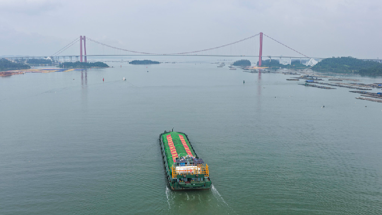
A cargo ship departs from Qinzhou Port in Qinzhou, south China's Guangxi Zhuang Autonomous Region, September 16, 2026. /VCG
The Pinglu Canal in south China's Guangxi Zhuang Autonomous Region officially opened to commercial navigation on Wednesday, marking the country's first major river-to-sea canal project planned and coordinated at the national level since 1949. Check out CGTN's infographic to see how the Pinglu Canal connects rivers to the sea.
Original Source
https://news.cgtn.com/news/2026-09-18/Infographic-How-the-Pinglu-Canal-connects-rivers-to-the-sea-1QxNSmHnpaU/p.html