International Geodiversity Day: Silent force sustaining life on Earth
By continuing to browse our site you agree to our use of cookies, revised Privacy Policy and Terms of Use. You can change your cookie settings through your browser.
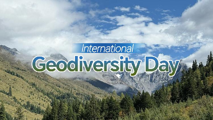
Tuesday marks the International Geodiversity Day. Every year on October 6, it highlights the crucial role of geodiversity in addressing global environmental challenges that humanity is facing.
Proclaimed by United Nations Educational, Scientific and Cultural Organization (UNESCO) in 2021, the day aims to raise awareness of geodiversity, promote geoscience education, and encourage the protection and sustainable use of people's geological heritage.
An aerial view of the Huanggang Dabieshan UNESCO Global Geopark in Huanggang, central China's Hubei Province. /VCG
Geodiversity is the diversity of the Earth's non-living nature, including minerals, rocks, fossils, soils, sediments, landforms, rivers and lakes, as well as the processes that shape them.
It is the foundation on which life and human society depend.
Geodiversity is the foundation of all biodiversity. It provides the conditions for life to emerge and thrive and underpins the planet's ecosystems and environments, said UNESCO. "There would be no biodiversity without geodiversity."
Geological resources have supported human civilization from stone tools to modern technology. They have provided raw materials for everything, from cities and infrastructure to solar panels and wind turbines. They support agriculture through soil and water, provide energy such as geothermal power, and shape the diverse landscapes that inspire art and attract visitors.
Rocks and geological processes help maintain healthy environment. They regulate water systems, store and release groundwater, and filter pollutants before they reach aquifers.
Meanwhile, knowledge of geological and geomorphological processes is vital to prevent and reduce natural hazards and address climate change. It helps us assess and mitigate risks from earthquakes, tsunamis, volcanic eruptions, floods and landslides, while geological records of past climate change provide valuable knowledge for us to forecast future climate trends and respond to them more effectively.
Colorful hills in the Zhangye UNESCO Global Geopark in Zhangye City, northwest China's Gansu Province. /VCG
Through its International Geoscience and Geoparks Program, UNESCO works to protect Earth’s resources for future generations. In 2015, it established the UNESCO Global Geoparks designation to promote the protection and sustainable use of geological heritage. The network now includes 241 geoparks in 51 countries, covering more than 882,000 square kilometers.
Among them, China has 51 Global Geoparks, with the newest two – Changshan Geopark in east China's Zhejiang Province and Mt. Siguniang Geopark in southwest China's Sichuan Province – inscribed in April.
A view of the stone forest in Changshan, east China's Zhejiang Province. /VCG
Changshan Geopark, spanning 1,043.1 square kilometers, preserves a highly continuous stratigraphic sequence from the Neoproterozoic to the Cenozoic, representing nearly 1 billion years of geological evolution in eastern Asia. The site contains China’s first "Golden Spike" (Global Boundary Stratotype Section and Point, or GSSP) and abundant fossils. Its distinctive geological landscapes also support local agriculture and community development.
A view of Mt. Siguniang in Aba Zang and Qiang Autonomous Prefecture, southwest China's Sichuan Province. /VCG.
Covering an area of 2,764.01 square kilometers, Mt. Siguniang Geopark is known for its complex tectonics, including folds, flysch deposits and towering granite peaks. It is the first UNESCO Global Geopark on the eastern edge of the Qinghai-Xizang Plateau, and home to the world's largest and oldest natural forest of Hippophae rhamnoides, as well as more than 300 vertebrate species, including giant pandas and snow leopards.