Monsoon leaving, rain staying: Heavy showers, storms to arrive on Sunday
Several parts of South India and the Andaman & Nicobar Islands are likely to witness heavy rain and thunderstorms on Sunday, September 20, according to the weather forecast by the India Meteorological Department (IMD), shared on Saturday, September 19.
The weather office has forecast isolated heavy rainfall over the Andaman & Nicobar Islands, Coastal Andhra Pradesh, Karnataka, Kerala, Tamil Nadu, Puducherry & Karaikal, and Telangana.
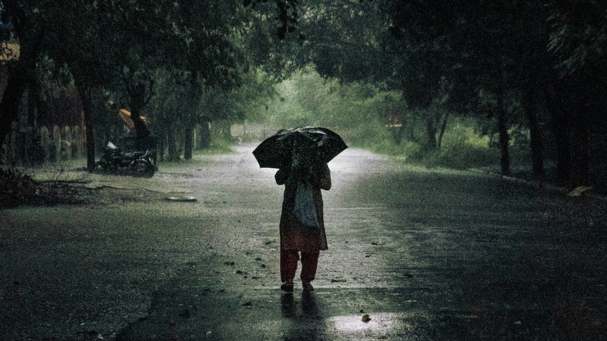
These areas are also likely to experience thunderstorms accompanied by lightning and gusty winds reaching 40-50 kmph. This means sudden spells of heavy rain and strong winds could occur during the day. People cover themselves as they walk amid rainfall. (Photo: PTI) SOUTH, CENTRAL INDIA TO SEE RAIN AND THUNDERSTORMS
Thunderstorms with comparatively lower wind speeds of 30-40 kmph are likely over East Rajasthan, Gangetic West Bengal, Jharkhand, Konkan & Goa, Madhya Pradesh, north Karnataka, Telangana and Vidarbha.
The Northeast is also likely to see thunderstorms and lightning.
Arunachal Pradesh, Assam, Meghalaya and the Nagaland-Manipur-Mizoram-Tripura region are among the areas also likely to be affected.
Chhattisgarh, Kerala and Lakshadweep could also witness thunderstorms and lightning, although the stronger winds forecast over other regions are not expected here.
Andhra Pradesh and Telangana are also likely to experience strong surface winds during the day. A satellite image shows the weather systems over the Indian subcontinent. (Photo: IMD) BAY OF BENGAL SYSTEM TO STRENGTHENThe weather system over the north Andaman Sea is another key factor to watch in the coming days.
The IMD said the system, that developed into a low-pressure on Friday, is expected to gradually strengthen into a depression by September 21 and a deep depression by September 22 as it moves towards the Odisha-Andhra Pradesh coast.
The system is likely to reach the region around September 23 and could affect rainfall across eastern parts of the country over the coming week. A satellite image of the low-pressure system in the Bay of Bengal. (Photo: IMD) MONSOON BEGINS TO LEAVE
Meanwhile, the southwest monsoon has started its withdrawal from India.
The IMD confirmed that the monsoon withdrew from some parts of West Rajasthan on September 19, two days after its normal withdrawal date of September 17.
Conditions are now favourable for the monsoon to retreat further from parts of Rajasthan, Punjab and Saurashtra & Kutch over the next three to four days. An image of a clear blue sky over Jaipur, Rajasthan. (Photo: Unsplash)
So, while the monsoon begins its exit from the northwest, parts of southern and eastern India are set for another spell of rain and thunderstorms as the Bay of Bengal system strengthens.- EndsPublished By: Aryan Published On: Sep 19, 2026 19:30 IST