Monsoon to visit: Heavy rainfall to lash these two states in coming days
The monsoon is showing signs of another active spell as a low-pressure system moves inland from the Bay of Bengal, carrying a fresh supply of moisture towards other parts of India.
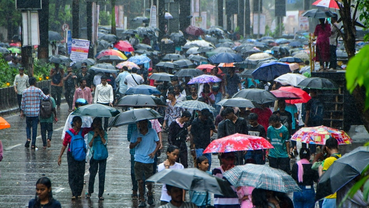
The system is expected to bring several days of rain, with some areas likely to see heavy and even very heavy showers between September 12 and 15. People with umbrellas crowd a street amid rain.(Photo: PTI) advertisement❮❯ Read Full StoryWHAT WILL MAKE IT RAIN?A low-pressure area can be thought of as a natural rain-maker, as it draws in moisture-laden air, helps it rise and cool, and creates clouds that eventually release rain.
The current system formed over the northwest and west-central Bay of Bengal, near the coasts of south Odisha and north Andhra Pradesh.
Now, it is expected to move west-northwestwards, carrying moisture deeper into the country and affecting weather across central and western regions.
This comes as the southwest monsoon enters its later phase.
During this period, low-pressure systems moving inland can still trigger strong spells of rain before the monsoon begins its withdrawal.TWO STATES TO FACE HEAVY RAINS
One of the areas expected to see the most significant activity is Gujarat, where fairly widespread to widespread rainfall is forecast from September 12 to 15. Lightning streaks across the sky during rain over the city.(Photo: PTI) Isolated very heavy rainfall is possible on September 13 and 14, particularly over parts of the Gujarat region, south Gujarat and Saurashtra-Kutch.
Furthermore, thunderstorms and lightning are also likely to show up in some areas.
Neighbouring Maharashtra is also expected to see an increase in rainfall. The IMD has forecast isolated heavy showers, with more widespread rain over Konkan and Goa and parts of Maharashtra during the same period.A FAST-MOVING SYSTEM
During this rain spell, the weather system is expected to move relatively quickly. A satellite image shows the weather systems over the Indian subcontinent. (Photo: IMD)
Why that makes a difference is because when a system that passes through an area quickly generally has less time to dump large amounts of rain at one location.
A slower system can linger for longer, allowing rainfall to build up and increasing the chances of good accumulation, sometimes so much so that it could result in flooding.
However, even a fast-moving system can produce intense, short-duration downpours, which is what Maharashtra and Gujarat can expect in the days ahead. Water accumulates on a road near a subway after rain, in Mumbai in June. (Photo: PTI)
The coming spell could bring useful rainfall to parts of the two states while also producing sharp bursts of heavy rain in some locations as the monsoon season moves towards its final phase.- EndsPublished By: Aryan Published On: Sep 13, 2026 07:30 IST