
Satellite data shows major ice losses for Greenland and Antarctica
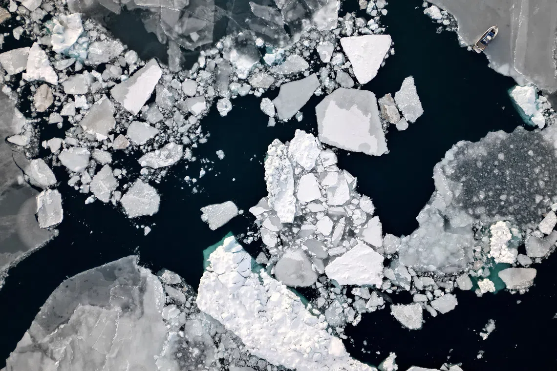
An aerial view showing ice floating near Sermitsiaq Island, Greenland. Greenland and Antarctica have reportedly lost a combined 11.3 trillion tonnes of ice, adding 3.14cm to the worldwide sea-level rise.
New research based on satellite data going back to the 1970s has documented major polar ice losses in Greenland and Antarctica — home to Earth’s two great ice sheets — that have contributed to rising global sea levels.
Between 1979 and 2023, according to data from 27 satellite missions, Greenland and Antarctica lost a combined 11.3 trillion tonnes of ice, adding 3.14cm to the worldwide sea-level rise.
The study, employing the longest satellite data record of changes in ice sheets ever gathered to give the most complete account to date of ice loss in Greenland and Antarctica, was conducted by the Ice Sheet Mass Balance Inter-comparison Exercise team, an international group of polar scientists.
The findings, they said, offer fresh evidence of the effects of human-caused global climate change.
“To put this very large number into context, 11.3 trillion tonnes of ice is enough ice to fill in a cube that would be 23 kilometres in height,” said climate scientist Ines Otosaka of Northumbria University in England, lead author of the study published on Sept 16 in the journal Scientific Data.
Of the ice loss documented in the study, about 60 per cent came from Greenland and 40 per cent from Antarctica, even though Greenland is about one-eighth the size of Antarctica.
“When ice sheets melt, they contribute to rising global sea levels. And with every additional centimetre of sea-level rise, about 2 to 3 million people are put at risk of annual coastal flooding. The ice sheets are now a major driver of sea-level rise, accounting for about 25 per cent of all sea-level rise,” Otosaka said.
“We have extended our satellite data record backwards in time to the 1970s, and this confirms that ice losses started in the 1990s and have increased since then. Our assessment shows that the pace of ice loss increased by a factor of four between the 1980s and 2010s,” Otosaka said.
Ice floats in Nuuk's old harbor, Greenland, on Feb 10, 2025.
The study documented a slowdown in ice loss between 2020 and 2023, though the researchers said this appears to represent a short-term variation and not a reversal of the long-term trend.
Unusually high snowfall across East Antarctica provided enough ice to offset some of the losses from glaciers elsewhere on Antarctica, while relatively mild summers in Greenland substantially lowered surface melting, they said.
Some 84 per cent of the ice lost came from glaciers flowing more quickly into the ocean rather than from ice melting at the surface, showing that the long-term trend is being driven by the response of the ice sheets to a warming ocean, Otosaka said.
The researchers said the total sea-level rise attributed to the ice losses at Greenland and Antarctica may not sound like a huge number, but it puts another 6 to 9 million people at risk of coastal flooding and erosion globally.
“These findings have implications for coastal planning, showing that we urgently need to develop plans for protecting coastal communities around the world from the impact of ice sheet melting,” Otosaka said. REUTERS


