Weekend weather: Severe storms and flooding threat loom as wet, cold weather grips parts of SA - IOL
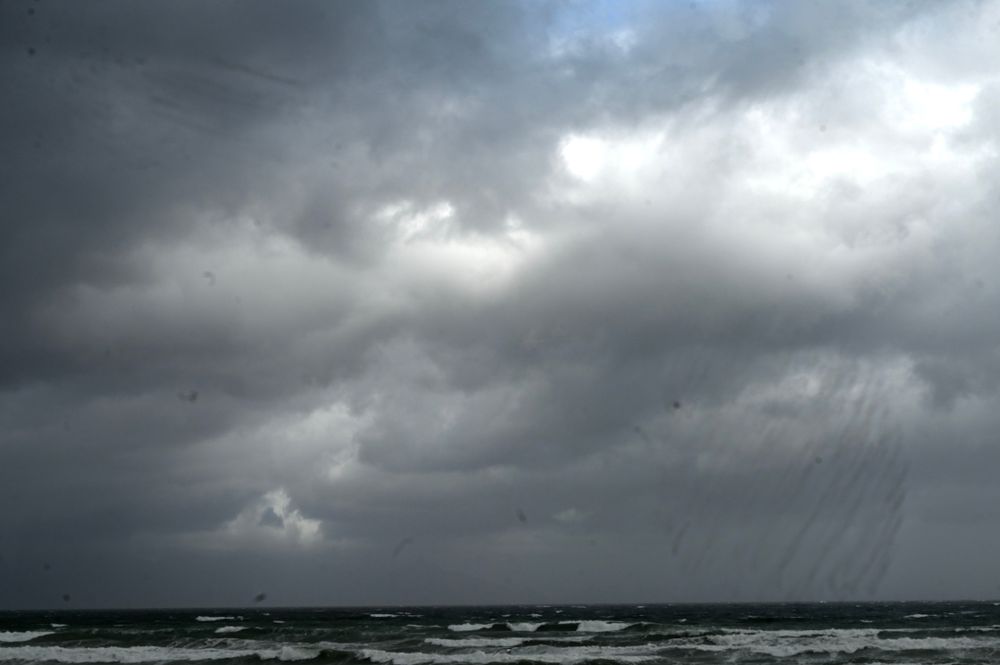
The South African Weather Service has warned of severe thunderstorms and disruptive rain across parts of the country this weekend, with heavy downpours, hail, strong winds and localised flooding possible in affected areas.
South Africans in several provinces are in for a wet and unsettled weekend, with severe thunderstorms, heavy downpours and the threat of localised flooding expected across parts of the country.
The South African Weather Service has issued Yellow Level 2 warnings for Saturday, as a significant band of rain and thunderstorms develops over parts of the Northern Cape, Western Cape and Eastern Cape.
Rainfall probabilities climb as high as 80% in some southern areas on Saturday, while scattered showers and thunderstorms carrying a 60% chance of rain are expected across a broader section of the interior.
A Yellow Level 2 warning for severe thunderstorms is in place over the eastern parts of the central and eastern Northern Cape, as well as the Beaufort West Municipality in the Western Cape.
Heavy downpours, hail, excessive lightning and strong, gusty winds are possible, with the Weather Service warning that the storms could result in localised flooding of settlements, roads and bridges, as well as damage to infrastructure.
The eastern Northern Cape will be cloudy, windy and cool to warm on Saturday, with scattered showers and thunderstorms. Rain will become widespread over the south-eastern parts, where the probability reaches 80%.
A 60% chance of showers and thunderstorms extends across other parts of the Northern Cape, while some western areas have a 30% chance of rain.
The western parts of the Eastern Cape are also under a Yellow Level 2 warning for disruptive rain, with heavy downpours expected to cause localised flooding of settlements, roads and bridges in places.
The warning is particularly significant because the disruptive rain is expected to persist into Sunday.
On Saturday, widespread showers and rain are forecast over the western half of the province, with showers and thunderstorms in the north. Rain chances reach 80% in some areas.
The eastern half will start fine to partly cloudy and cool before cloud builds from the west, bringing scattered showers and thunderstorms.
The Free State will be partly cloudy and cool before becoming cloudy during the afternoon. Isolated to scattered showers and thunderstorms are forecast, except over the eastern parts, giving affected areas rain chances of between 30% and 60%.
The North West will also be partly cloudy and cool, becoming cloudy later in the day. Isolated showers and thunderstorms are expected in the west, carrying a 30% chance of rain.
Gauteng escapes the worst of Saturday's wet weather, with fine conditions expected during the morning before skies become partly cloudy. Temperatures will remain cool.
Mpumalanga will have morning fog over the southern parts before becoming mostly fine and cool, although the Lowveld will be warmer. Limpopo will be fine and cool to warm.
KwaZulu-Natal will start with morning fog over the interior before fine and warm conditions dominate. Clouds will increase during the afternoon, with isolated showers and thunderstorms developing outside the north-western parts.
Rain chances are generally around 30%, while coastal winds are expected to strengthen in places.
Unsettled weather will continue into Sunday, October 4, with showers and thunderstorms spreading across a large portion of the country.
The Eastern Cape remains one of the wettest areas, with a 60% chance of rain across extensive parts of the province. Strong coastal winds are also indicated, reaching around 45 km/h in places.
The Free State and parts of the Northern Cape are also expected to see a 60% chance of showers and thunderstorms, while a 30% chance extends into parts of Gauteng, Mpumalanga, KwaZulu-Natal and the western interior.
Conditions will turn noticeably cooler across much of the central and eastern interior, while warmer weather is expected to hold on in parts of the Western Cape and along sections of the KwaZulu-Natal coast.
With thunderstorms, heavy rain and flooding risks affecting several provinces, motorists and residents in warning areas should remain alert to rapidly changing conditions, particularly around low-lying roads, bridges and flood-prone settlements.