
Western disturbance to boost monsoon, trigger heavy rain in North India
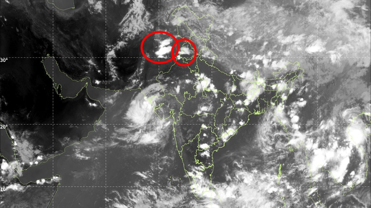
The southwest monsoon may be preparing for one last burst over North India, with a Western Disturbance (WD) expected to move across the region on September 16 and 17, triggering thunderstorms and spells of moderate to heavy rain across the plains and western Himalayas.
The weather system is now “getting in shape” and is likely to interact with the existing monsoonal moisture over northwestern India, producing a fresh spell of rain just as the monsoon begins showing signs of retreat.
On September 16, fairly widespread moderate to heavy rain and thunderstorms are expected across Punjab and northwest Rajasthan, particularly from around noon through the late evening.
The system will also affect Chandigarh, Haryana, Delhi-NCR and western Uttar Pradesh, where scattered moderate rain and thundershowers are likely from the late afternoon into the night. Since the system is a Western Disturbance, isolated hailstorms cannot be ruled out, particularly where strong thunderstorms develop.
However, the rain in these areas is expected to be short-lived and passing in nature. Most spells may last less than an hour at a given location, although repeated showers could occur as thunderstorm cells move across the region.
Since the system is a Western Disturbance, isolated hailstorms cannot be ruled out, particularly where strong thunderstorms develop.
On September 17, the focus of rainfall is expected to shift towards Rajasthan and western Haryana, with mostly isolated to scattered showers likely across the remaining northern plains.
The Western Himalayas are also expected to receive short spells of moderate to heavy thundershowers on both days. Continuous or prolonged rainfall is not expected, reducing the likelihood of a major weather disruption. However, temperatures could drop briefly following the passage of thunderstorms.
The higher reaches of the Himalayas could also witness fresh snowfall, adding a wintry touch to the changing weather as the season transitions. Photo: Windy
The timing of the disturbance is significant. The southwest monsoon is already entering its withdrawal phase, but the arrival of a Western Disturbance could provide the final push of moisture and instability needed to produce another round of widespread rain across parts of north India.
For Delhi-NCR and neighbouring areas, the most likely window for thunderstorms and showers is Wednesday evening into the night, while Rajasthan, Punjab and western Haryana are expected to see stronger activity.
The spell is therefore likely to be sharp rather than prolonged, a final monsoon burst before the weather pattern begins shifting decisively towards the post-monsoon season.- EndsPublished By: Sibu Kumar TripathiPublished On: Sep 16, 2026 07:00 IST
